Eagle Road, Rye
Introduction
The photograph on this page of Eagle Road, Rye by Simon Carey as part of the Geograph project.
The Geograph project started in 2005 with the aim of publishing, organising and preserving representative images for every square kilometre of Great Britain, Ireland and the Isle of Man.

There are currently over 7.5m images from over 14,400 individuals and you can help contribute to the project by visiting https://www.geograph.org.uk
Eagle Road, Rye
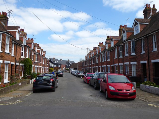
Image: © Simon Carey Taken: 11 Apr 2019
A cul-de-sac off Rope Tackle built in the early 1900s and named after an old brewery which was located where the flats are at the end of the road.
Images are licensed for reuse under creativecommons.org/licenses/by-sa/2.0
Image Location
Latitude
50.953521
Longitude
0.734109