Ferry Road, Rye
Introduction
The photograph on this page of Ferry Road, Rye by Simon Carey as part of the Geograph project.
The Geograph project started in 2005 with the aim of publishing, organising and preserving representative images for every square kilometre of Great Britain, Ireland and the Isle of Man.

There are currently over 7.5m images from over 14,400 individuals and you can help contribute to the project by visiting https://www.geograph.org.uk
Ferry Road, Rye
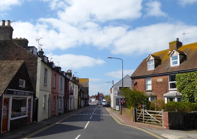
Image: © Simon Carey Taken: 11 Apr 2019
Part of the A268 one way system here, beyond the level crossing in the distance it becomes the B2089.
Images are licensed for reuse under creativecommons.org/licenses/by-sa/2.0
Image Location
Latitude
50.951202
Longitude
0.729416