Former Nisa convenience store, High Street, Bargoed
Introduction
The photograph on this page of Former Nisa convenience store, High Street, Bargoed by Jaggery as part of the Geograph project.
The Geograph project started in 2005 with the aim of publishing, organising and preserving representative images for every square kilometre of Great Britain, Ireland and the Isle of Man.

There are currently over 7.5m images from over 14,400 individuals and you can help contribute to the project by visiting https://www.geograph.org.uk
Former Nisa convenience store, High Street, Bargoed
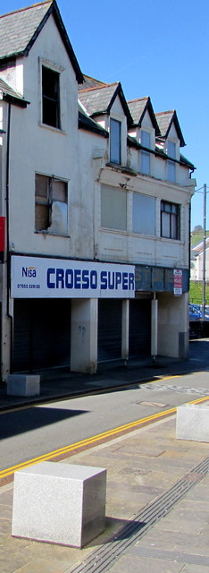
Image: © Jaggery Taken: 11 Apr 2019
Viewed in April 2019. A notice showing For Sale By Auction 24th October 2018 remains on the building.
Images are licensed for reuse under creativecommons.org/licenses/by-sa/2.0
Image Location
Latitude
51.691855
Longitude
-3.229957