Irongate House
Introduction
The photograph on this page of Irongate House by Robin Webster as part of the Geograph project.
The Geograph project started in 2005 with the aim of publishing, organising and preserving representative images for every square kilometre of Great Britain, Ireland and the Isle of Man.

There are currently over 7.5m images from over 14,400 individuals and you can help contribute to the project by visiting https://www.geograph.org.uk
Irongate House
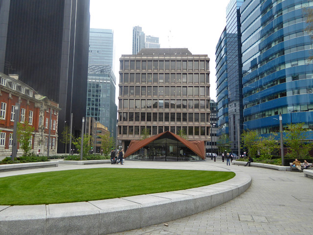
Image: © Robin Webster Taken: 6 Apr 2019
Looking across an area reclaimed from a previous road layout. The low building is a cafe this side of a road which now passes close in front of Irongate House beyond.
Images are licensed for reuse under creativecommons.org/licenses/by-sa/2.0
Image Location
Latitude
51.514229
Longitude
-0.077491