Old Toll House by the A36, Upton Folly
Introduction
The photograph on this page of Old Toll House by the A36, Upton Folly by Alan Rosevear as part of the Geograph project.
The Geograph project started in 2005 with the aim of publishing, organising and preserving representative images for every square kilometre of Great Britain, Ireland and the Isle of Man.

There are currently over 7.5m images from over 14,400 individuals and you can help contribute to the project by visiting https://www.geograph.org.uk
Old Toll House by the A36, Upton Folly
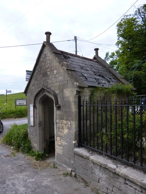
Image: © Alan Rosevear Taken: 24 Jun 2013
Codford Toll House (hut) by the A36, in parish of Upton Lovell (West Wiltshire District), bus shelter, Manor Road junction (toll house opposite is WI.ULO Image). Grade II listed together with toll house opposite. List Entry Number: 1422057 https://historicengland.org.uk/listing/the-list/list-entry/1422057 Surveyed Milestone Society National ID: WI.ULOH
Images are licensed for reuse under creativecommons.org/licenses/by-sa/2.0
Image Location
Latitude
51.16963
Longitude
-2.076271