Old Toll House by Tavistock Road, Horrabridge
Introduction
The photograph on this page of Old Toll House by Tavistock Road, Horrabridge by Alan Rosevear as part of the Geograph project.
The Geograph project started in 2005 with the aim of publishing, organising and preserving representative images for every square kilometre of Great Britain, Ireland and the Isle of Man.

There are currently over 7.5m images from over 14,400 individuals and you can help contribute to the project by visiting https://www.geograph.org.uk
Old Toll House by Tavistock Road, Horrabridge
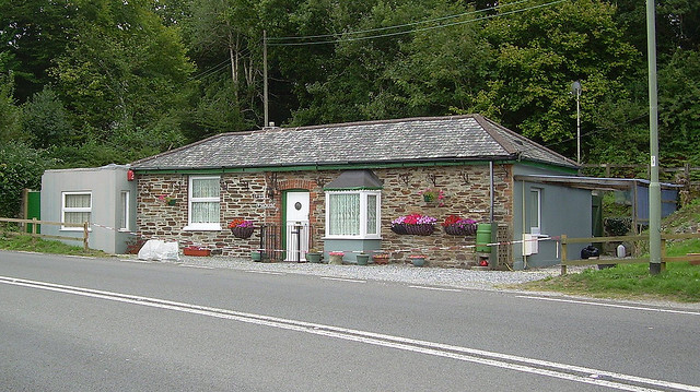
Image: © Alan Rosevear Taken: Unknown
Toll House by the A386, in the parish of Horrabridge (West Devon District), Toll House, Tavistock Road, PL20 6EB. Surveyed Milestone Society National ID: DV.HOR01
Images are licensed for reuse under creativecommons.org/licenses/by-sa/2.0
Image Location
Latitude
50.501817
Longitude
-4.100602