Belfast: Queen Mary?s Gardens
Introduction
The photograph on this page of Belfast: Queen Mary?s Gardens by Chris Downer as part of the Geograph project.
The Geograph project started in 2005 with the aim of publishing, organising and preserving representative images for every square kilometre of Great Britain, Ireland and the Isle of Man.

There are currently over 7.5m images from over 14,400 individuals and you can help contribute to the project by visiting https://www.geograph.org.uk
Belfast: Queen Mary?s Gardens
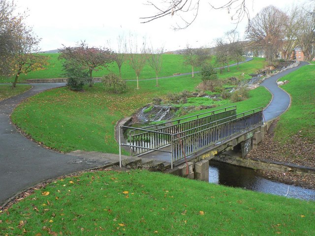
Image: © Chris Downer Taken: 11 Nov 2007
These gardens are formed from the lower section of the former Antrim Road Waterworks, which was made a public park after its use as a source of water for the city.
Images are licensed for reuse under creativecommons.org/licenses/by-sa/2.0
Image Location


Leaflet Map data © OpenStreetMap
Latitude
54.618159
Longitude
-5.940162