Former route of the Fife Coast Railway
Introduction
The photograph on this page of Former route of the Fife Coast Railway by Richard Sutcliffe as part of the Geograph project.
The Geograph project started in 2005 with the aim of publishing, organising and preserving representative images for every square kilometre of Great Britain, Ireland and the Isle of Man.

There are currently over 7.5m images from over 14,400 individuals and you can help contribute to the project by visiting https://www.geograph.org.uk
Former route of the Fife Coast Railway
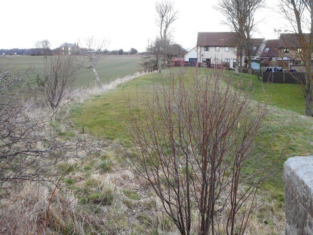
Image: © Richard Sutcliffe Taken: 20 Mar 2019
Looking towards the former St Monans Station (beyond the modern houses). The line closed in 1966. The building in the distance on the left is the former United Free Church Manse.
Images are licensed for reuse under creativecommons.org/licenses/by-sa/2.0
Image Location
Latitude
56.205201
Longitude
-2.773856