5 Kaye's Walk, Nottingham
Introduction
The photograph on this page of 5 Kaye's Walk, Nottingham by Alan Murray-Rust as part of the Geograph project.
The Geograph project started in 2005 with the aim of publishing, organising and preserving representative images for every square kilometre of Great Britain, Ireland and the Isle of Man.

There are currently over 7.5m images from over 14,400 individuals and you can help contribute to the project by visiting https://www.geograph.org.uk
5 Kaye's Walk, Nottingham
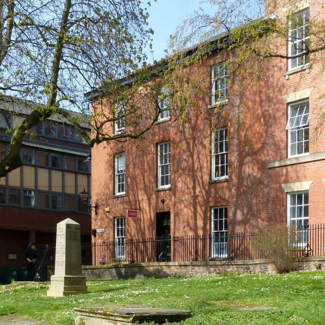
Image: © Alan Murray-Rust Taken: 1 Apr 2019
One of a pair of housesbuilt as a unit with 49 St Mary's Gate https://www.geograph.org.uk/photo/3398364 . Early 19th century, restored late 20th century as offices. Listed Grade II.
Images are licensed for reuse under creativecommons.org/licenses/by-sa/2.0
Image Location
Latitude
52.951414
Longitude
-1.14384