Ottery St Mary: corn mill
Introduction
The photograph on this page of Ottery St Mary: corn mill by Martin Bodman as part of the Geograph project.
The Geograph project started in 2005 with the aim of publishing, organising and preserving representative images for every square kilometre of Great Britain, Ireland and the Isle of Man.

There are currently over 7.5m images from over 14,400 individuals and you can help contribute to the project by visiting https://www.geograph.org.uk
Ottery St Mary: corn mill
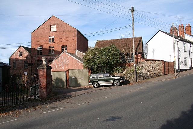
Image: © Martin Bodman Taken: 12 Nov 2007
Built at the same time as the much larger woollen mill and supplied by the same leat, the corn mill was at work until 1937. To its right once stood a 19th century tanyard
Images are licensed for reuse under creativecommons.org/licenses/by-sa/2.0
Image Location
Latitude
50.750217
Longitude
-3.284631