Undulating grazing land Catlands Hill
Introduction
The photograph on this page of Undulating grazing land Catlands Hill by Robert Matin as part of the Geograph project.
The Geograph project started in 2005 with the aim of publishing, organising and preserving representative images for every square kilometre of Great Britain, Ireland and the Isle of Man.

There are currently over 7.5m images from over 14,400 individuals and you can help contribute to the project by visiting https://www.geograph.org.uk
Undulating grazing land Catlands Hill
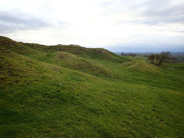
Image: © Robert Matin Taken: 3 Apr 2019
These hillocks and hollows appear to be remnants of ancient quarrying activity.
Images are licensed for reuse under creativecommons.org/licenses/by-sa/2.0
Image Location
Latitude
54.759189
Longitude
-3.169794