Disused limekiln
Introduction
The photograph on this page of Disused limekiln by Anthony Vosper as part of the Geograph project.
The Geograph project started in 2005 with the aim of publishing, organising and preserving representative images for every square kilometre of Great Britain, Ireland and the Isle of Man.

There are currently over 7.5m images from over 14,400 individuals and you can help contribute to the project by visiting https://www.geograph.org.uk
Disused limekiln
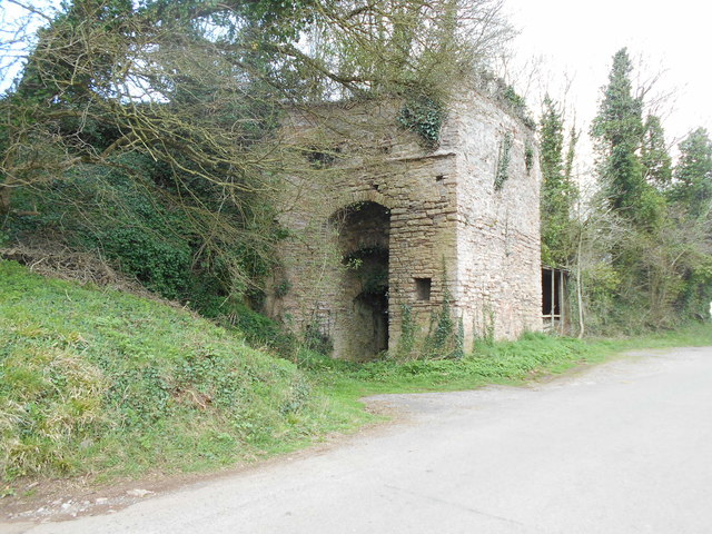
Image: © Anthony Vosper Taken: 23 Mar 2019
Originally serving Rocknell Hill quarry to the North East. An OS Bench Mark can be found low down on the south west wall.
Images are licensed for reuse under creativecommons.org/licenses/by-sa/2.0
Image Location
Latitude
50.942651
Longitude
-3.349712