Waterfall on Dearden Brook
Introduction
The photograph on this page of Waterfall on Dearden Brook by David Dixon as part of the Geograph project.
The Geograph project started in 2005 with the aim of publishing, organising and preserving representative images for every square kilometre of Great Britain, Ireland and the Isle of Man.

There are currently over 7.5m images from over 14,400 individuals and you can help contribute to the project by visiting https://www.geograph.org.uk
Waterfall on Dearden Brook
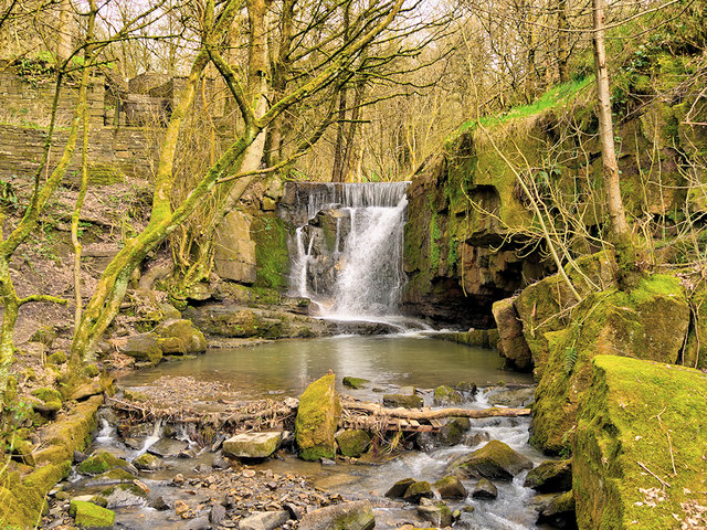
Image: © David Dixon Taken: 30 Mar 2019
Waterfall at the site of the former Plunge Mill. See Image] for a closer look.
Images are licensed for reuse under creativecommons.org/licenses/by-sa/2.0
Image Location


Leaflet Map data © OpenStreetMap
Latitude
53.667922
Longitude
-2.2957