Road junction, Lower Largo
Introduction
The photograph on this page of Road junction, Lower Largo by Bill Kasman as part of the Geograph project.
The Geograph project started in 2005 with the aim of publishing, organising and preserving representative images for every square kilometre of Great Britain, Ireland and the Isle of Man.

There are currently over 7.5m images from over 14,400 individuals and you can help contribute to the project by visiting https://www.geograph.org.uk
Road junction, Lower Largo
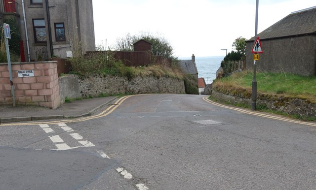
Image: © Bill Kasman Taken: 29 Mar 2019
Bourtree Brae joins Durham Wynd which runs downhill to Main Street. See Lower Largo article https://www.geograph.org.uk/article/Lower-Largo-and-the-Serpentine-Walk
Images are licensed for reuse under creativecommons.org/licenses/by-sa/2.0
Image Location
Latitude
56.213511
Longitude
-2.936384