Approaching Laughton
Introduction
The photograph on this page of Approaching Laughton by Chris Thomas-Atkin as part of the Geograph project.
The Geograph project started in 2005 with the aim of publishing, organising and preserving representative images for every square kilometre of Great Britain, Ireland and the Isle of Man.

There are currently over 7.5m images from over 14,400 individuals and you can help contribute to the project by visiting https://www.geograph.org.uk
Approaching Laughton
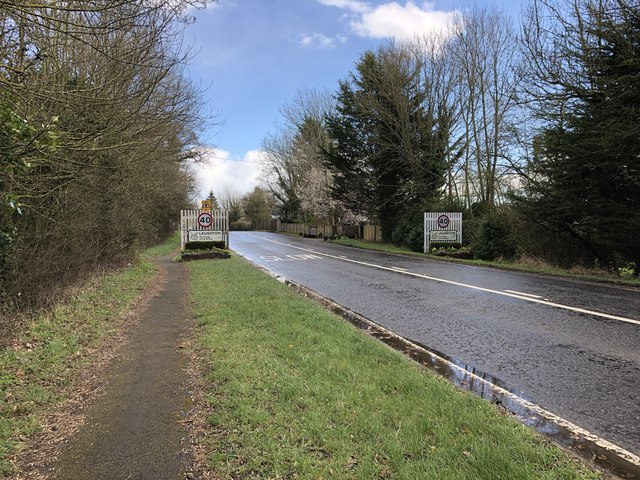
Image: © Chris Thomas-Atkin Taken: 10 Mar 2019
On Laughton Road nearing the signs announcing that you are entering the village of Laughton being “The Village of the Buckle”. During the course of a battle in 1356 Sir John Pelham captured the King of France and the English King, Edward III, was so impressed that he removed the buckle of his sword belt, which he presented as a reward to Sir John. Thereafter it was known as the Pelham Buckle and its image can be seen throughout the village.
Images are licensed for reuse under creativecommons.org/licenses/by-sa/2.0
Image Location
Latitude
50.89775
Longitude
0.130238