Across the chalk pits
Introduction
The photograph on this page of Across the chalk pits by John Sutton as part of the Geograph project.
The Geograph project started in 2005 with the aim of publishing, organising and preserving representative images for every square kilometre of Great Britain, Ireland and the Isle of Man.

There are currently over 7.5m images from over 14,400 individuals and you can help contribute to the project by visiting https://www.geograph.org.uk
Across the chalk pits
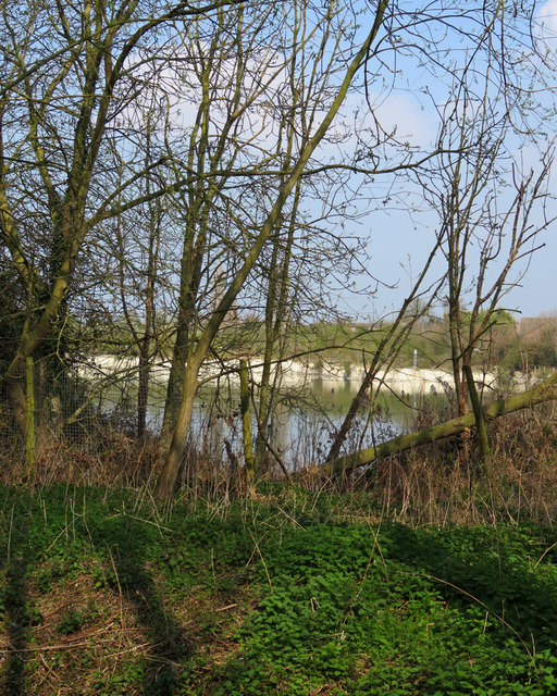
Image: © John Sutton Taken: 30 Mar 2019
The chalk pits - now fishing lakes - served the Norman cement works, which closed in 1984. This view over Cherry Hinton Brook is from Snakey Path, near St Bede's Crescent.
Images are licensed for reuse under creativecommons.org/licenses/by-sa/2.0
Image Location
Latitude
52.190881
Longitude
0.166639