Canal Milemarker by the Chesterfield Canal, Retford
Introduction
The photograph on this page of Canal Milemarker by the Chesterfield Canal, Retford by Milestone Society as part of the Geograph project.
The Geograph project started in 2005 with the aim of publishing, organising and preserving representative images for every square kilometre of Great Britain, Ireland and the Isle of Man.

There are currently over 7.5m images from over 14,400 individuals and you can help contribute to the project by visiting https://www.geograph.org.uk
Canal Milemarker by the Chesterfield Canal, Retford
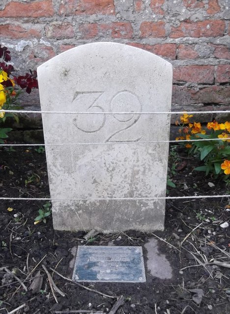
Image: © Milestone Society Taken: Unknown
Modern milemarker by the Chesterfield Canal, in parish of East Retford (Bassetlaw District), South of bridge 59 (A620 road), opposite Hop Pole PH. Inscription reads:- 32 (plus commemorative plaque) Surveyed Milestone Society National ID: CHE-32
Images are licensed for reuse under creativecommons.org/licenses/by-sa/2.0
Image Location
Latitude
53.328215
Longitude
-0.923869