Old Wayside Cross near Gisperdown Farm
Introduction
The photograph on this page of Old Wayside Cross near Gisperdown Farm by Alan Rosevear as part of the Geograph project.
The Geograph project started in 2005 with the aim of publishing, organising and preserving representative images for every square kilometre of Great Britain, Ireland and the Isle of Man.

There are currently over 7.5m images from over 14,400 individuals and you can help contribute to the project by visiting https://www.geograph.org.uk
Old Wayside Cross near Gisperdown Farm
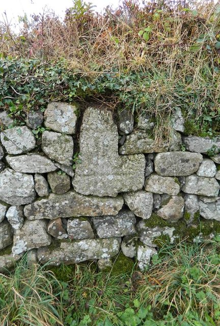
Image: © Alan Rosevear Taken: 17 Nov 2012
Gisperdown Cross, old head by the UC road, in parish of South Brent (South Hams District), Gisperdown Farm, built into wall at entrance, to right of cattle grid. Surveyed Milestone Society National ID: DVSH_SBR02
Images are licensed for reuse under creativecommons.org/licenses/by-sa/2.0
Image Location
Latitude
50.452702
Longitude
-3.830049