Waterlogged ground
Introduction
The photograph on this page of Waterlogged ground by Dave Thompson as part of the Geograph project.
The Geograph project started in 2005 with the aim of publishing, organising and preserving representative images for every square kilometre of Great Britain, Ireland and the Isle of Man.

There are currently over 7.5m images from over 14,400 individuals and you can help contribute to the project by visiting https://www.geograph.org.uk
Waterlogged ground
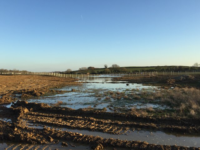
Image: © Dave Thompson Taken: 25 Mar 2019
The footpath now runs between two fences - which conveniently plunge into deep lying water. Flood plain anyone?
Images are licensed for reuse under creativecommons.org/licenses/by-sa/2.0
Image Location
Latitude
52.490355
Longitude
-0.946921