Towards Sauchrie
Introduction
The photograph on this page of Towards Sauchrie by Mary and Angus Hogg as part of the Geograph project.
The Geograph project started in 2005 with the aim of publishing, organising and preserving representative images for every square kilometre of Great Britain, Ireland and the Isle of Man.

There are currently over 7.5m images from over 14,400 individuals and you can help contribute to the project by visiting https://www.geograph.org.uk
Towards Sauchrie
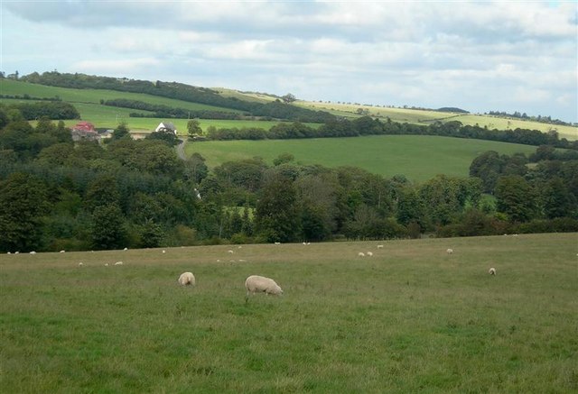
Image: © Mary and Angus Hogg Taken: 31 Aug 2006
Rich farmland on the lower slopes of the north Carrick Hills at Sauchrie, viewed from NS3013.
Images are licensed for reuse under creativecommons.org/licenses/by-sa/2.0
Image Location
Latitude
55.395596
Longitude
-4.678899