Boggy track
Introduction
The photograph on this page of Boggy track by James Allan as part of the Geograph project.
The Geograph project started in 2005 with the aim of publishing, organising and preserving representative images for every square kilometre of Great Britain, Ireland and the Isle of Man.

There are currently over 7.5m images from over 14,400 individuals and you can help contribute to the project by visiting https://www.geograph.org.uk
Boggy track
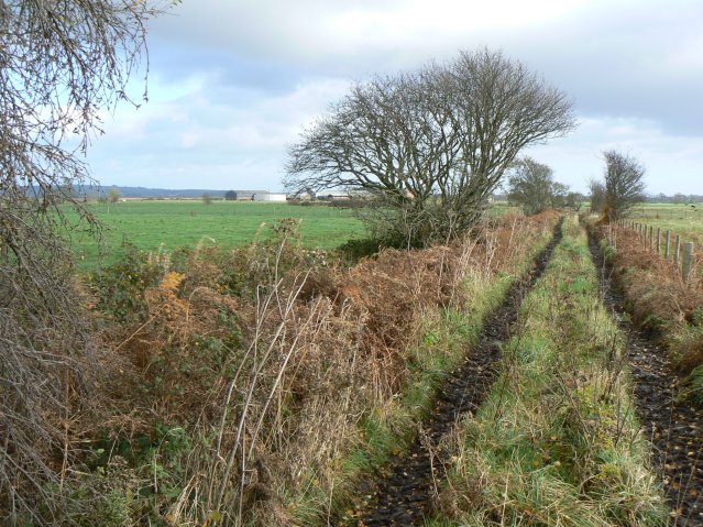
Image: © James Allan Taken: 8 Nov 2007
Farm track leading towards the Lochar Water. Buildings in the background are Upper Locharwoods farm on the far side of the stream.
Images are licensed for reuse under creativecommons.org/licenses/by-sa/2.0
Image Location


Leaflet Map data © OpenStreetMap
Latitude
54.992437
Longitude
-3.516383