Old Milestone by the A28, Canterbury Road, Chilham
Introduction
The photograph on this page of Old Milestone by the A28, Canterbury Road, Chilham by C Woodward as part of the Geograph project.
The Geograph project started in 2005 with the aim of publishing, organising and preserving representative images for every square kilometre of Great Britain, Ireland and the Isle of Man.

There are currently over 7.5m images from over 14,400 individuals and you can help contribute to the project by visiting https://www.geograph.org.uk
Old Milestone by the A28, Canterbury Road, Chilham
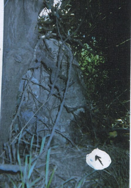
Image: © C Woodward Taken: 2 Apr 2012
Stone post (plate lost) by the A28, in parish of Chilham (Ashford District), Canterbury Road, North of Bowland Lane, opposite house entrance, top of bank close to road edge, covered by a bush, on South side of road. Ashford marker, erected by the Faversham to Hythe & Canterbury turnpike trust in the 19th century. Inscription once read:- (CANTERBURY) (5) (ASHFORD) (9) Kent HER. HER Number: TR 05 SE 151 https://www.heritagegateway.org.uk/Gateway/Results_Single.aspx?uid=MKE97691&resourceID=1005 Milestone Society National ID: KE_CYAF05
Images are licensed for reuse under creativecommons.org/licenses/by-sa/2.0
Image Location


Leaflet Map data © OpenStreetMap
Latitude
51.249357
Longitude
0.984773