Old Milestone by The Street, Ash
Introduction
The photograph on this page of Old Milestone by The Street, Ash by C Woodward & B Jones as part of the Geograph project.
The Geograph project started in 2005 with the aim of publishing, organising and preserving representative images for every square kilometre of Great Britain, Ireland and the Isle of Man.

There are currently over 7.5m images from over 14,400 individuals and you can help contribute to the project by visiting https://www.geograph.org.uk
Old Milestone by The Street, Ash
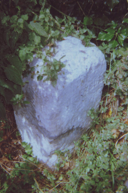
Image: © C Woodward & B Jones Taken: 7 Aug 2008
Carved stone post by the UC road (was A257), in parish of ASH (DOVER District), The Street, at junction with Molland Lane, on rough ground, next to traffic sign and white post, on North side of road. Sandwich limestone block, erected by the Canterbury & Sandwich turnpike trust in the 19th century. Inscription reads:- : SANDWICH / 3 / DEAL / 9 : : CANTERBURY / 9 / LONDON / 65 : Kent HER. HER Number: TR 25 NE 257 https://www.heritagegateway.org.uk/Gateway/Results_Single.aspx?uid=MKE78247&resourceID=1005 Milestone Society National ID: KE_LQ65.
Images are licensed for reuse under creativecommons.org/licenses/by-sa/2.0
Image Location
Latitude
51.278916
Longitude
1.272889