Old Milestone by the A290, Honey Hill, Blean
Introduction
The photograph on this page of Old Milestone by the A290, Honey Hill, Blean by C Woodward as part of the Geograph project.
The Geograph project started in 2005 with the aim of publishing, organising and preserving representative images for every square kilometre of Great Britain, Ireland and the Isle of Man.

There are currently over 7.5m images from over 14,400 individuals and you can help contribute to the project by visiting https://www.geograph.org.uk
Old Milestone by the A290, Honey Hill, Blean
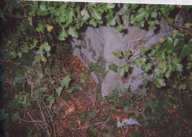
Image: © C Woodward Taken: 25 Aug 2009
Metal plate attached to stone post by the A290, in parish of ST COSMUS AND ST DAMIAN IN THE BLEAN (CANTERBURY District), Honey Hill, Blean, opposite Honey Cottage, in hawthorn hedge at back of tarmac footpath, on West side of road. Whitstable iron plate, erected by the Whitstable turnpike trust in the 19th century. Inscription reads:- : 3½ / MILES / (TO / WHITSTABLE) : : 3 / MILES / TO / (CANTERBURY) : Kent HER. HER Number: TR 16 SW 20 https://www.heritagegateway.org.uk/Gateway/Results_Single.aspx?uid=MKE5571&resourceID=1005 Milestone Society National ID: KE_CYWS03.
Images are licensed for reuse under creativecommons.org/licenses/by-sa/2.0
Image Location
Latitude
51.312134
Longitude
1.035633