Old Milestone south of Beattock on former B7076
Introduction
The photograph on this page of Old Milestone south of Beattock on former B7076 by Milestone Society as part of the Geograph project.
The Geograph project started in 2005 with the aim of publishing, organising and preserving representative images for every square kilometre of Great Britain, Ireland and the Isle of Man.

There are currently over 7.5m images from over 14,400 individuals and you can help contribute to the project by visiting https://www.geograph.org.uk
Old Milestone south of Beattock on former B7076
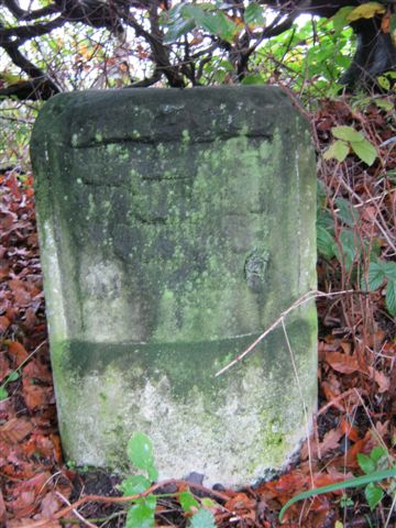
Image: © Milestone Society Taken: Unknown
Milestone by the UC road (former B7076), in parish of Kirkpatrick Juxta (Annandale District), 1 mile South of Beattock just South of the last house 'Greenhill', on East side of UC road from Milton (oldest A74), under small beech tree. Inscription once read:- (Glasgow) (57) (Carlisle) (37½) Surveyed Milestone Society National ID: DG_CLGW37
Images are licensed for reuse under creativecommons.org/licenses/by-sa/2.0
Image Location


Leaflet Map data © OpenStreetMap
Latitude
55.292359
Longitude
-3.441703