Old Boundary Marker by the A385, Bridgetown Hill, Totnes
Introduction
The photograph on this page of Old Boundary Marker by the A385, Bridgetown Hill, Totnes by Milestone Society as part of the Geograph project.
The Geograph project started in 2005 with the aim of publishing, organising and preserving representative images for every square kilometre of Great Britain, Ireland and the Isle of Man.

There are currently over 7.5m images from over 14,400 individuals and you can help contribute to the project by visiting https://www.geograph.org.uk
Old Boundary Marker by the A385, Bridgetown Hill, Totnes
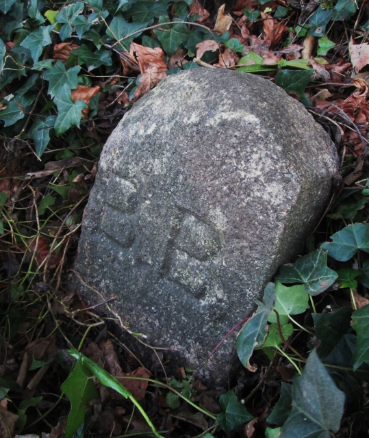
Image: © Milestone Society Taken: Unknown
Parish Boundary Marker by the A385, in parish of Totnes (South Hams District), Bridgetown Hill, on grass verge. Devon & Dartmoor HER. HER Number: MDV43483 https://www.heritagegateway.org.uk/Gateway/Results_Single.aspx?uid=MDV43483&resourceID=104 Surveyed Milestone Society National ID: DV_TOT03pb
Images are licensed for reuse under creativecommons.org/licenses/by-sa/2.0
Image Location
Latitude
50.432622
Longitude
-3.668962