Old Bridge Marker north of Bow Bridge Lower, Skipton Road
Introduction
The photograph on this page of Old Bridge Marker north of Bow Bridge Lower, Skipton Road by Roger Templeman as part of the Geograph project.
The Geograph project started in 2005 with the aim of publishing, organising and preserving representative images for every square kilometre of Great Britain, Ireland and the Isle of Man.

There are currently over 7.5m images from over 14,400 individuals and you can help contribute to the project by visiting https://www.geograph.org.uk
Old Bridge Marker north of Bow Bridge Lower, Skipton Road
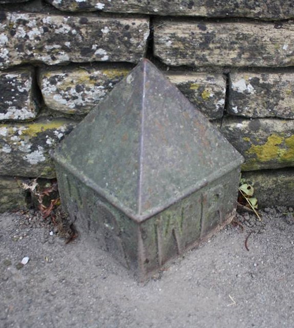
Image: © Roger Templeman Taken: Unknown
Bridge Marker by the UC road, in parish of Embsay with Eastby (Craven District), Bow Bridge Lower, Haw Beck, against stone wall, Southeast side of road. To be surveyed Milestone Society National ID: YW_EMB01br
Images are licensed for reuse under creativecommons.org/licenses/by-sa/2.0
Image Location
Latitude
53.974246
Longitude
-1.997479