Old Boundary Marker by the B3215, Glendon Cross
Introduction
The photograph on this page of Old Boundary Marker by the B3215, Glendon Cross by Alan Rosevear as part of the Geograph project.
The Geograph project started in 2005 with the aim of publishing, organising and preserving representative images for every square kilometre of Great Britain, Ireland and the Isle of Man.

There are currently over 7.5m images from over 14,400 individuals and you can help contribute to the project by visiting https://www.geograph.org.uk
Old Boundary Marker by the B3215, Glendon Cross
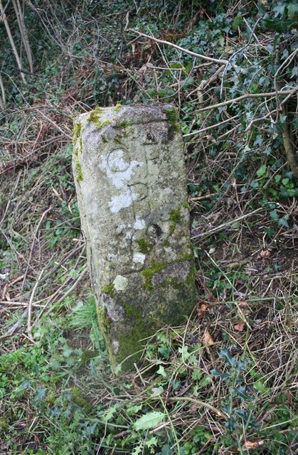
Image: © Alan Rosevear Taken: 27 Mar 2012
Parish Boundary Marker by the B3215, in parish of Okehampton Hamlets (West Devon District), Glendon Cross, top of Appledore Hill, at side of lay-by, under hedge, East side of road. Surveyed Milestone Society National ID: DV_OKCR01apb
Images are licensed for reuse under creativecommons.org/licenses/by-sa/2.0
Image Location
Latitude
50.752766
Longitude
-3.972003