Old Boundary Marker by the B376, Wraysbury Road
Introduction
The photograph on this page of Old Boundary Marker by the B376, Wraysbury Road by Milestone Society as part of the Geograph project.
The Geograph project started in 2005 with the aim of publishing, organising and preserving representative images for every square kilometre of Great Britain, Ireland and the Isle of Man.

There are currently over 7.5m images from over 14,400 individuals and you can help contribute to the project by visiting https://www.geograph.org.uk
Old Boundary Marker by the B376, Wraysbury Road
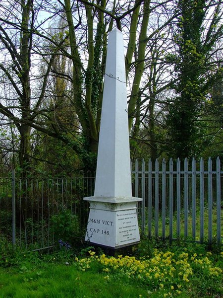
Image: © Milestone Society Taken: 1 Jan 2008
Coal Tax Marker by the B376, in parish of Wraysbury (Windsor and Maidenhead District), South side of Wraysbury Road, opposite No 115, 30m East of junction with Lammas Drive. To be surveyed Milestone Society National ID: BU_CTWRA02bm
Images are licensed for reuse under creativecommons.org/licenses/by-sa/2.0
Image Location
Latitude
51.437928
Longitude
-0.524999