Old Boundary Marker at Hurdwick Farm. Tavistock
Introduction
The photograph on this page of Old Boundary Marker at Hurdwick Farm. Tavistock by Alan Rosevear as part of the Geograph project.
The Geograph project started in 2005 with the aim of publishing, organising and preserving representative images for every square kilometre of Great Britain, Ireland and the Isle of Man.

There are currently over 7.5m images from over 14,400 individuals and you can help contribute to the project by visiting https://www.geograph.org.uk
Old Boundary Marker at Hurdwick Farm. Tavistock
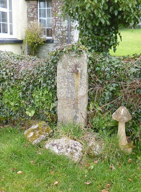
Image: © Alan Rosevear Taken: 3 Mar 2013
Turnpike Horse Marker by the track, in parish of Tavistock (West Devon District), Hurdwick Farm, down the footpath beside the farm house, by wall around garden, near cross. surveyed Milestone Society National ID: DV_TVOKo02hs
Images are licensed for reuse under creativecommons.org/licenses/by-sa/2.0
Image Location
Latitude
50.562387
Longitude
-4.158929