B4275 distance and direction signs facing the Cwmdare Road junction, Aberdare
Introduction
The photograph on this page of B4275 distance and direction signs facing the Cwmdare Road junction, Aberdare by Jaggery as part of the Geograph project.
The Geograph project started in 2005 with the aim of publishing, organising and preserving representative images for every square kilometre of Great Britain, Ireland and the Isle of Man.

There are currently over 7.5m images from over 14,400 individuals and you can help contribute to the project by visiting https://www.geograph.org.uk
B4275 distance and direction signs facing the Cwmdare Road junction, Aberdare
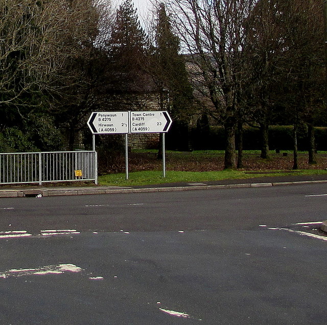
Image: © Jaggery Taken: 11 Feb 2019
Left along the B4275 Hirwaun Road for Penywaun (1 mile) and Hirwaun (2½) Right along the B4275 Cemetery Road for Aberdare town centre (1 mile). Also turn right here for Cardiff (23 miles).
Images are licensed for reuse under creativecommons.org/licenses/by-sa/2.0
Image Location
Latitude
51.723405
Longitude
-3.465935