Holly Lodge, Reece Lane
Introduction
The photograph on this page of Holly Lodge, Reece Lane by John Baker as part of the Geograph project.
The Geograph project started in 2005 with the aim of publishing, organising and preserving representative images for every square kilometre of Great Britain, Ireland and the Isle of Man.

There are currently over 7.5m images from over 14,400 individuals and you can help contribute to the project by visiting https://www.geograph.org.uk
Holly Lodge, Reece Lane
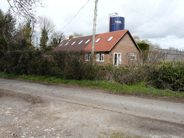
Image: © John Baker Taken: 8 Mar 2019
The extension was built in 2016 to form annex accommodation. The silage tower belongs to Blandred Farm.
Images are licensed for reuse under creativecommons.org/licenses/by-sa/2.0
Image Location
Latitude
51.151529
Longitude
1.15711