Taskers Lane, Burbage
Introduction
The photograph on this page of Taskers Lane, Burbage by Des Blenkinsopp as part of the Geograph project.
The Geograph project started in 2005 with the aim of publishing, organising and preserving representative images for every square kilometre of Great Britain, Ireland and the Isle of Man.

There are currently over 7.5m images from over 14,400 individuals and you can help contribute to the project by visiting https://www.geograph.org.uk
Taskers Lane, Burbage
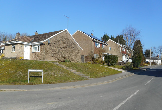
Image: © Des Blenkinsopp Taken: 27 Feb 2019
Burbage is an ancient village, but most of the housing is recent. Compare the current map with this one http://www.archiuk.com/cgi-bin/build_nls_historic_map.pl?search_location=,%20Burbage,%20Wiltshire&latitude=51.347657&longitude=-1.685503&[email protected] to see how much new infill has been built.
Images are licensed for reuse under creativecommons.org/licenses/by-sa/2.0
Image Location
Latitude
51.353736
Longitude
-1.671819