The rear of properties on High Street
Introduction
The photograph on this page of The rear of properties on High Street by Richard Sutcliffe as part of the Geograph project.
The Geograph project started in 2005 with the aim of publishing, organising and preserving representative images for every square kilometre of Great Britain, Ireland and the Isle of Man.

There are currently over 7.5m images from over 14,400 individuals and you can help contribute to the project by visiting https://www.geograph.org.uk
The rear of properties on High Street
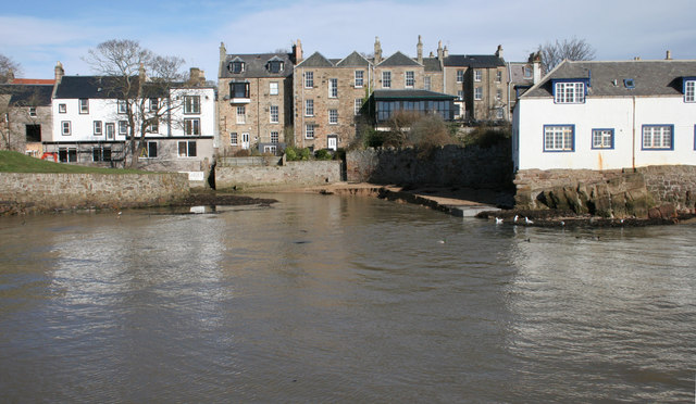
Image: © Richard Sutcliffe Taken: 17 Mar 2019
Looking across the Dreel Burn at high tide to the backs of the former Smugglers Inn (currently being refurbished as flats), No 21 High Street, and The Bank public house. All are Category B listed buildings.
Images are licensed for reuse under creativecommons.org/licenses/by-sa/2.0
Image Location
Latitude
56.222873
Longitude
-2.703254