School Safety Zone, Bouncers Lane, Prestbury
Introduction
The photograph on this page of School Safety Zone, Bouncers Lane, Prestbury by Jaggery as part of the Geograph project.
The Geograph project started in 2005 with the aim of publishing, organising and preserving representative images for every square kilometre of Great Britain, Ireland and the Isle of Man.

There are currently over 7.5m images from over 14,400 individuals and you can help contribute to the project by visiting https://www.geograph.org.uk
School Safety Zone, Bouncers Lane, Prestbury
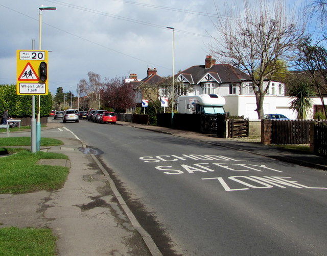
Image: © Jaggery Taken: 17 Mar 2019
On the approach to Prestbury St Mary's C of E Junior School. Maximum speed 20mph when lights flash.
Images are licensed for reuse under creativecommons.org/licenses/by-sa/2.0
Image Location
Latitude
51.909396
Longitude
-2.046471