Moniack Castle
Introduction
The photograph on this page of Moniack Castle by Raibeart MacAoidh as part of the Geograph project.
The Geograph project started in 2005 with the aim of publishing, organising and preserving representative images for every square kilometre of Great Britain, Ireland and the Isle of Man.

There are currently over 7.5m images from over 14,400 individuals and you can help contribute to the project by visiting https://www.geograph.org.uk
Moniack Castle
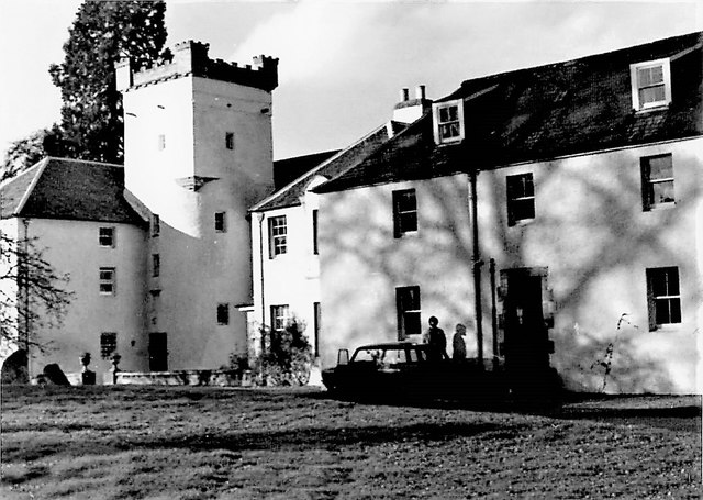
Image: © Raibeart MacAoidh Taken: 6 Nov 1976
Moniack Castle is a 16th-century tower house, The castle was built in 1580 by members of the Clan Fraser. The castle is protected as a category B listed building.
Images are licensed for reuse under creativecommons.org/licenses/by-sa/2.0
Image Location
Latitude
57.459496
Longitude
-4.415827