Path 132-11 & 123-15 Junction
Introduction
The photograph on this page of Path 132-11 & 123-15 Junction by Glyn Baker as part of the Geograph project.
The Geograph project started in 2005 with the aim of publishing, organising and preserving representative images for every square kilometre of Great Britain, Ireland and the Isle of Man.

There are currently over 7.5m images from over 14,400 individuals and you can help contribute to the project by visiting https://www.geograph.org.uk
Path 132-11 & 123-15 Junction
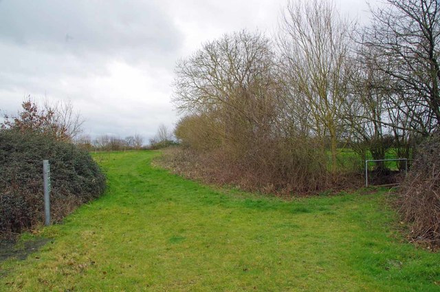
Image: © Glyn Baker Taken: 15 Mar 2019
I am suspicious of the waymarks to the left, they are not in the Essex County Council style I am familiar with. Also there are identically styled "private no right of way" signs discouraging the use of the path to Kemp's Farm. When all is said and done due to the so called "temporary" closure of path 149-29 across the railway without trespassing one would have no option but to return the way you had come see Image I am sure if there had been a formal diversion in the recent past the footbridge to the right would not be in such a Image
Images are licensed for reuse under creativecommons.org/licenses/by-sa/2.0
Image Location
Latitude
51.893831
Longitude
0.79898