Overtoun House Nature Trail
Introduction
The photograph on this page of Overtoun House Nature Trail by Lairich Rig as part of the Geograph project.
The Geograph project started in 2005 with the aim of publishing, organising and preserving representative images for every square kilometre of Great Britain, Ireland and the Isle of Man.

There are currently over 7.5m images from over 14,400 individuals and you can help contribute to the project by visiting https://www.geograph.org.uk
Overtoun House Nature Trail
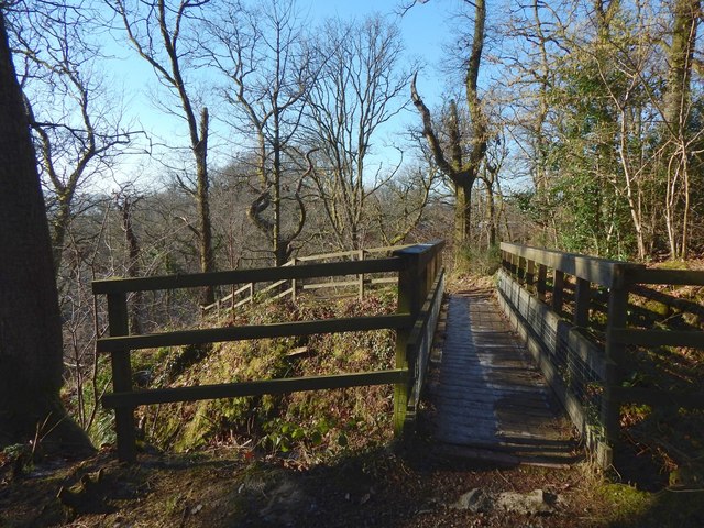
Image: © Lairich Rig Taken: 1 Feb 2019
The footbridge leads over a deep channel cut by a small tributary of the Overtoun Burn.
Images are licensed for reuse under creativecommons.org/licenses/by-sa/2.0
Image Location
Latitude
55.952431
Longitude
-4.530938