Douglas Fir by the Moniack Burn
Introduction
The photograph on this page of Douglas Fir by the Moniack Burn by Julian Paren as part of the Geograph project.
The Geograph project started in 2005 with the aim of publishing, organising and preserving representative images for every square kilometre of Great Britain, Ireland and the Isle of Man.

There are currently over 7.5m images from over 14,400 individuals and you can help contribute to the project by visiting https://www.geograph.org.uk
Douglas Fir by the Moniack Burn
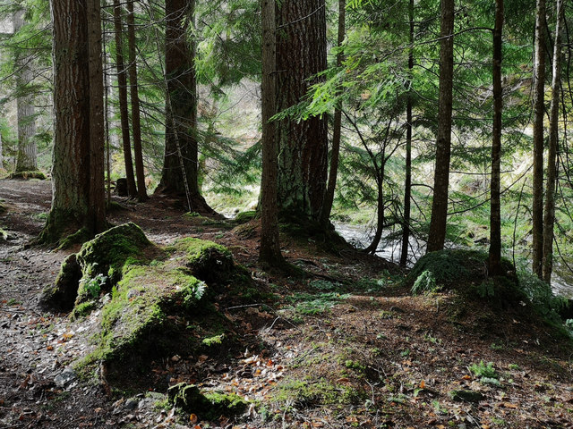
Image: © Julian Paren Taken: 12 Mar 2019
Tall trees beside the river in Reelig Glen.
Images are licensed for reuse under creativecommons.org/licenses/by-sa/2.0
Image Location
Latitude
57.450841
Longitude
-4.403254