Gillingham houses [22]
Introduction
The photograph on this page of Gillingham houses [22] by Michael Dibb as part of the Geograph project.
The Geograph project started in 2005 with the aim of publishing, organising and preserving representative images for every square kilometre of Great Britain, Ireland and the Isle of Man.

There are currently over 7.5m images from over 14,400 individuals and you can help contribute to the project by visiting https://www.geograph.org.uk
Gillingham houses [22]
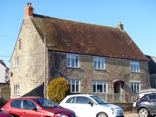
Image: © Michael Dibb Taken: 14 Feb 2019
This undistinguished house in the middle of a garage dates back to the 16th century although much altered. Listed, grade II, with details at: https://historicengland.org.uk/listing/the-list/list-entry/1172630
Images are licensed for reuse under creativecommons.org/licenses/by-sa/2.0
Image Location
Latitude
51.041396
Longitude
-2.277089