Ogbeare plantations from the north
Introduction
The photograph on this page of Ogbeare plantations from the north by Derek Harper as part of the Geograph project.
The Geograph project started in 2005 with the aim of publishing, organising and preserving representative images for every square kilometre of Great Britain, Ireland and the Isle of Man.

There are currently over 7.5m images from over 14,400 individuals and you can help contribute to the project by visiting https://www.geograph.org.uk
Ogbeare plantations from the north
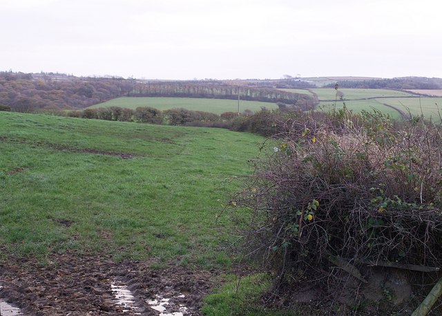
Image: © Derek Harper Taken: 9 Nov 2007
A view right across the square from the lane from Wilsworthy Cross to North Tamerton, which runs along its northern edge. Hidden are two valleys which join to run left towards the Tamar. Beyond them, the appropriately-named Strip Plantation runs across to meet Ogbeare Plantation on the left.
Images are licensed for reuse under creativecommons.org/licenses/by-sa/2.0
Image Location
Latitude
50.738517
Longitude
-4.417708