Manchester Road
Introduction
The photograph on this page of Manchester Road by Gerald England as part of the Geograph project.
The Geograph project started in 2005 with the aim of publishing, organising and preserving representative images for every square kilometre of Great Britain, Ireland and the Isle of Man.

There are currently over 7.5m images from over 14,400 individuals and you can help contribute to the project by visiting https://www.geograph.org.uk
Manchester Road
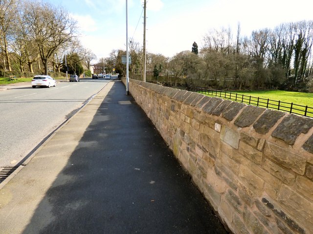
Image: © Gerald England Taken: 4 Mar 2019
The A57 at Kingston. On the right is grazing land on the flood plain between Wilson Brook and the River Tame. In the wall, which was heightened in 2017, is an old stone marker post Image
Images are licensed for reuse under creativecommons.org/licenses/by-sa/2.0
Image Location
Latitude
53.454598
Longitude
-2.094532