Pasture near Llwyn-melyn
Introduction
The photograph on this page of Pasture near Llwyn-melyn by John Gibson as part of the Geograph project.
The Geograph project started in 2005 with the aim of publishing, organising and preserving representative images for every square kilometre of Great Britain, Ireland and the Isle of Man.

There are currently over 7.5m images from over 14,400 individuals and you can help contribute to the project by visiting https://www.geograph.org.uk
Pasture near Llwyn-melyn
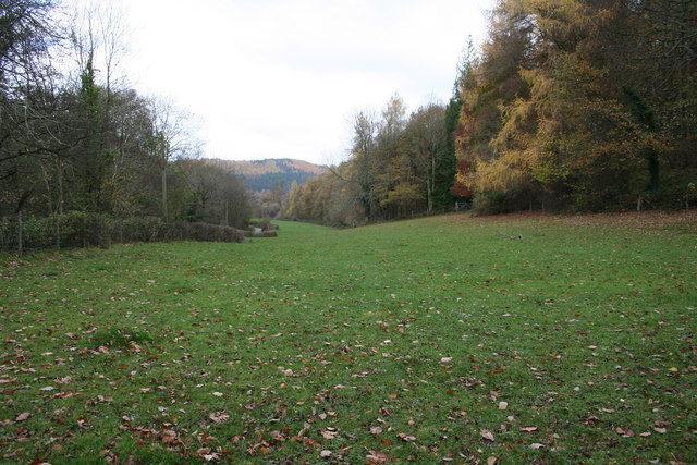
Image: © John Gibson Taken: 9 Nov 2007
A rich strand of grassland running northwards down the lower valley of the Nant Feinion, with the lane down to the A470 at Glanfeinion on the left and managed mixed woodland on the right.
Images are licensed for reuse under creativecommons.org/licenses/by-sa/2.0
Image Location
Latitude
52.455803
Longitude
-3.45394