West Bergholt Allotments
Introduction
The photograph on this page of West Bergholt Allotments by Glyn Baker as part of the Geograph project.
The Geograph project started in 2005 with the aim of publishing, organising and preserving representative images for every square kilometre of Great Britain, Ireland and the Isle of Man.

There are currently over 7.5m images from over 14,400 individuals and you can help contribute to the project by visiting https://www.geograph.org.uk
West Bergholt Allotments
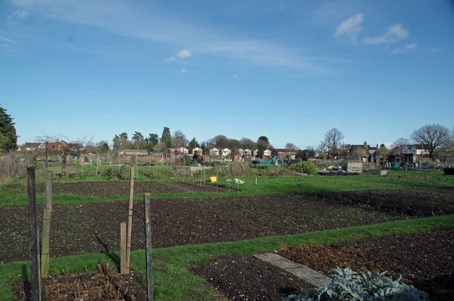
Image: © Glyn Baker Taken: 9 Mar 2019
In wouldn't be surprised if there will be soon be pressure to turn this area into desirable semi's (I hope I am wrong).
Images are licensed for reuse under creativecommons.org/licenses/by-sa/2.0
Image Location
Latitude
51.913344
Longitude
0.851528