Union Church, Totteridge
Introduction
The photograph on this page of Union Church, Totteridge by Des Blenkinsopp as part of the Geograph project.
The Geograph project started in 2005 with the aim of publishing, organising and preserving representative images for every square kilometre of Great Britain, Ireland and the Isle of Man.

There are currently over 7.5m images from over 14,400 individuals and you can help contribute to the project by visiting https://www.geograph.org.uk
Union Church, Totteridge
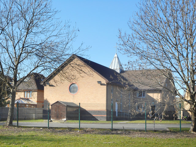
Image: © Des Blenkinsopp Taken: 26 Feb 2019
A view from the Dollis Valley Greenwalk of the back of the church, which was built in 2001. The front is shown here Image
Images are licensed for reuse under creativecommons.org/licenses/by-sa/2.0
Image Location
Latitude
51.622895
Longitude
-0.187175