Whetstone Flood Warning Site
Introduction
The photograph on this page of Whetstone Flood Warning Site by Des Blenkinsopp as part of the Geograph project.
The Geograph project started in 2005 with the aim of publishing, organising and preserving representative images for every square kilometre of Great Britain, Ireland and the Isle of Man.

There are currently over 7.5m images from over 14,400 individuals and you can help contribute to the project by visiting https://www.geograph.org.uk
Whetstone Flood Warning Site
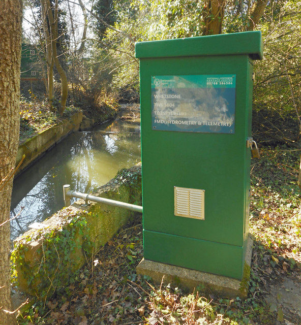
Image: © Des Blenkinsopp Taken: 26 Feb 2019
An Environment Agency monitoring station on the Dollis Brook. The grid reference is on the side of the kiosk. TQ25711 93193. Very accurate.
Images are licensed for reuse under creativecommons.org/licenses/by-sa/2.0
Image Location
Latitude
51.623497
Longitude
-0.185418