Old Bridge Marker on Plym Bridge, Plymouth
Introduction
The photograph on this page of Old Bridge Marker on Plym Bridge, Plymouth by Milestone Society as part of the Geograph project.
The Geograph project started in 2005 with the aim of publishing, organising and preserving representative images for every square kilometre of Great Britain, Ireland and the Isle of Man.

There are currently over 7.5m images from over 14,400 individuals and you can help contribute to the project by visiting https://www.geograph.org.uk
Old Bridge Marker on Plym Bridge, Plymouth
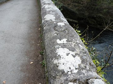
Image: © Milestone Society Taken: Unknown
Bridge Marker by the UC road, in parish of Plymouth (Plymouth District), Plym Bridge, used as coping stone. Plym Bridge is Grade II* listed. List Entry Number: 1162902 https://historicengland.org.uk/listing/the-list/list-entry/1162902 To be surveyed Milestone Society National ID: DV_PBES01bbr
Images are licensed for reuse under creativecommons.org/licenses/by-sa/2.0
Image Location
Latitude
50.409665
Longitude
-4.078972