Old Boundary Marker in Clyst St Mary
Introduction
The photograph on this page of Old Boundary Marker in Clyst St Mary by Alan Rosevear as part of the Geograph project.
The Geograph project started in 2005 with the aim of publishing, organising and preserving representative images for every square kilometre of Great Britain, Ireland and the Isle of Man.

There are currently over 7.5m images from over 14,400 individuals and you can help contribute to the project by visiting https://www.geograph.org.uk
Old Boundary Marker in Clyst St Mary
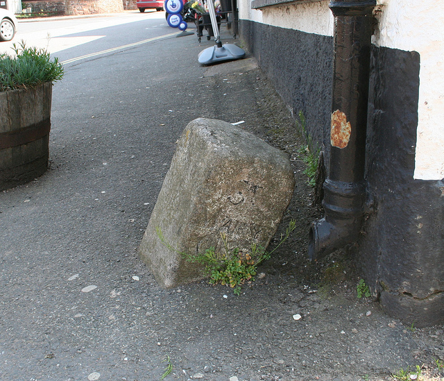
Image: © Alan Rosevear Taken: 18 Apr 2011
Parish Boundary Marker by the UC road (was A3052), in parish of Clyst St Mary (Exeter District), at corner of village shop (Londis), opposite Wells House, in path, against corner. Inscription reads:- : SOWTON / P : : ST / MARY / CLYST / P : Surveyed Milestone Society National ID: DV_EXLR02pb
Images are licensed for reuse under creativecommons.org/licenses/by-sa/2.0
Image Location
Latitude
50.70987
Longitude
-3.455571