Valley near Winsdon
Introduction
The photograph on this page of Valley near Winsdon by Derek Harper as part of the Geograph project.
The Geograph project started in 2005 with the aim of publishing, organising and preserving representative images for every square kilometre of Great Britain, Ireland and the Isle of Man.

There are currently over 7.5m images from over 14,400 individuals and you can help contribute to the project by visiting https://www.geograph.org.uk
Valley near Winsdon
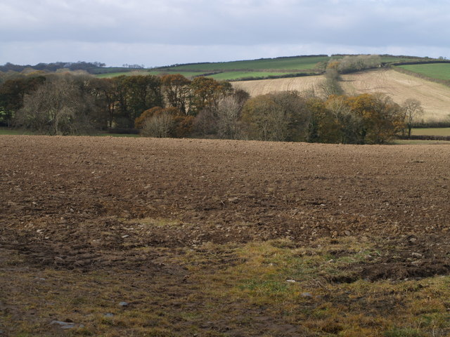
Image: © Derek Harper Taken: 9 Nov 2007
The trees are following the course of a tributary of Bolesbridge Water, which approaches from the left background, picks up its own tributary from the right, and then moves off to the left. The clump of trees up the hill on the right are on a track followed by a footpath between Bodgate and Winsdon. Seen from the Langdon Cross - Clubworthy lane north of Godcott Farm.
Images are licensed for reuse under creativecommons.org/licenses/by-sa/2.0
Image Location


Leaflet Map data © OpenStreetMap
Latitude
50.695057
Longitude
-4.427225