Windhill Snanding Stone
Introduction
The photograph on this page of Windhill Snanding Stone by valenta as part of the Geograph project.
The Geograph project started in 2005 with the aim of publishing, organising and preserving representative images for every square kilometre of Great Britain, Ireland and the Isle of Man.

There are currently over 7.5m images from over 14,400 individuals and you can help contribute to the project by visiting https://www.geograph.org.uk
Windhill Snanding Stone
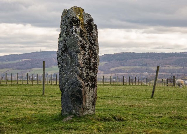
Image: © valenta Taken: 5 Mar 2019
A prehistoric standing stone on the outskirts of Muir of Ord, one of two stones on the East West axis Image] https://canmore.org.uk/site/12704/windhill
Images are licensed for reuse under creativecommons.org/licenses/by-sa/2.0
Image Location
Latitude
57.501597
Longitude
-4.450659